Services of the outdoor recreation area on the map
There are several guided trails, rest and food stops, a hut, a swimming spot, a camping site and other outdoor services in the area.
Description of the outdoor recreation area
The outdoor recreation area has three cooking shelters and two fire places. Fires are forbidden elsewhere.
The area has two playgrounds and a network of permanent orienteering control points that is suitable for both hiking orienteering and competitive orienteering.
Recreational fishing is permitted on Lake Salmijärvi, Lake Poikkipuolinen and Lakes Iso-Parikas and Vähä-Parikas, where there is a wild fish population with young stock.
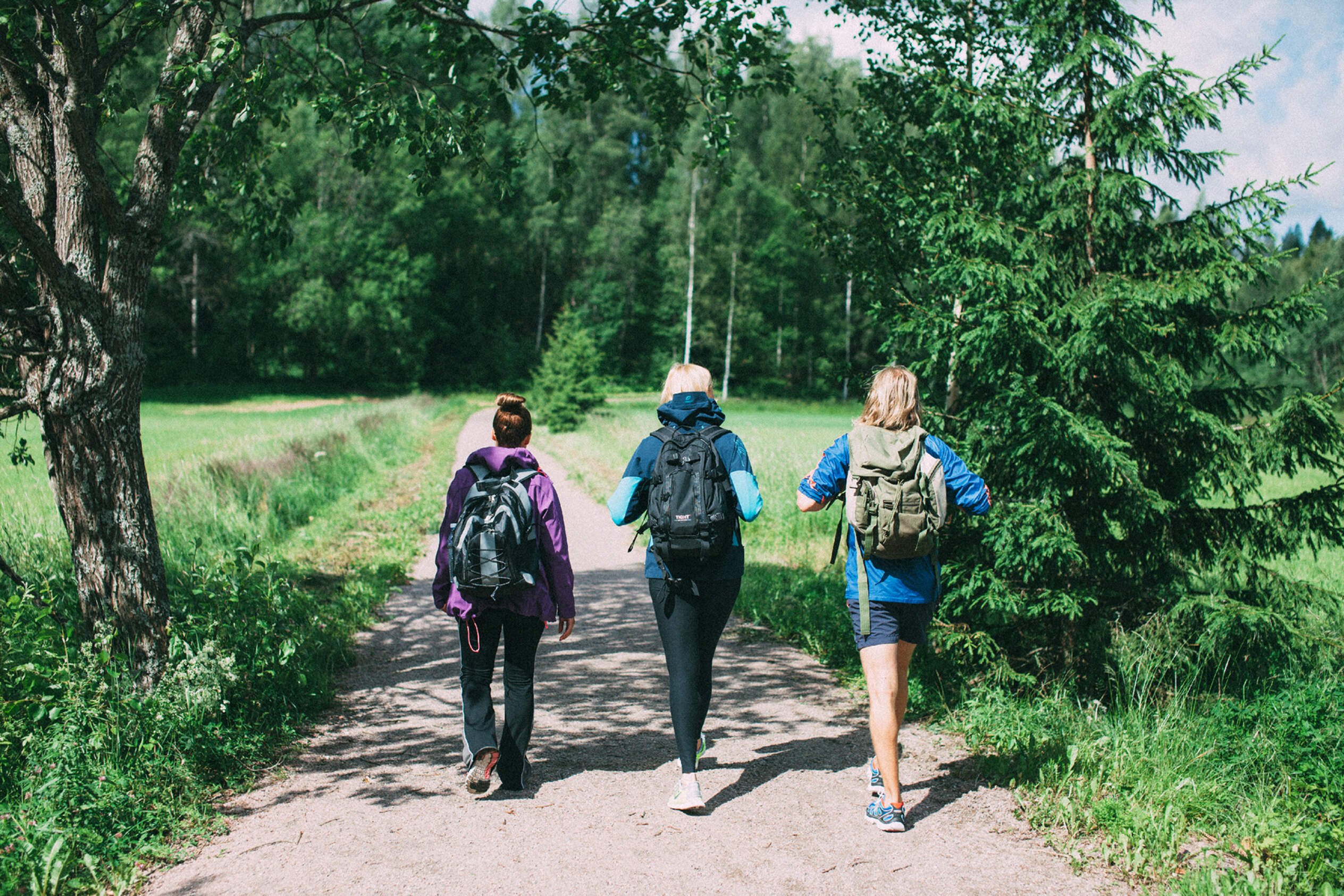
There are 24 km of guided crushed stone hiking trails that are also suitable for bicycles and wheelchairs. In the winter, the trails of 3 km, 4 km, 6 km and 10 km serve as (classic/freestyle) skiing trails.
Condition of skiing tracks (ulkoliikunta.fi) (Link leads to external service)
Camping
There is a caravan park in the vicinity of the Salmi outdoor recreation area’s main building with 95 seasonal places with electricity (no short-term accommodation). For seasonal places and reservations, please contact Rastila Camping in Helsinki via telephone at +358(0) 9 310 78517 or e-mail rastilacamping@hel.fi (Link opens default mail program)
The area has bathing facilities.
Nature trails
Salmi has three nature trails: The Kartanotonttu trail for children, the short Paavo trail and the long Tapio trail.
Kartanotonttu trail
The Kartanotonttu trail is 1.5 km long and marked with orange. It travels through diverse natural habitats each inhabited by its own fairy-tale creature. The route also goes past activity grounds, a beach and a campfire site. The trail finishes at the playground locate behind the hiking lodge.
Paavo trail
The Paavo trail (1.6 km) is marked with blue. It runs in coastal, meadow and forest landscapes with a picnic site in Lammasniemi. The Paavo trail is designed for schoolchildren, families and older people. It is fairly short and easy and also suitable for slower walkers.
Tapio trail
The Tapio trail is approximately 10 km long and marked with green. You can either walk the entire trail or take a short cut at Iso-Parikas. The Tapio trail travels through forest, bog and coastal landscapes. The campfire site and swimming spots are on the shores of Iso-Parikas and Pikku-Parikas. The Tapio trail is meant for active and fit hikers of all ages, and it is easy to walk throughout.
General rules
In all outdoor areas, observe Everyman’s Rights and rules and move responsibly in nature:


