What does Vartiosaari offer?
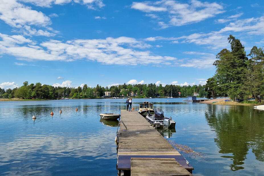
Waterway transport connections
Eastern archipelago route
The Eastern archipelago route takes visitors to Vartiosaari during the summer season, operated by FRS Finland.
Eastern archipelago cruise (FRS Finland) (Link leads to external service)
Electric ferry connection from Reposalmi
There is also an electric ferry connection to Vartiosaari from Reposalmi. The ferry operates as a callboat, the operator in the summer of 2025 is Reposalmen lautturit. You can go directly to the ferry’s departure point or book a ride in advance.
Aurinkolautta electric ferry (Reposalmen lautturit) (Link leads to external service)
Landfall and mooring points
At the bottom of Pässilahti there is a guest marina for short-term mooring. Reposalmi’s waterborne transport piers are reserved for the ferries, mooring private boats to them is not allowed. The best landfall site for canoes and kayaks is the sandy cove on the northern and north-eastern corner of the island.
Pässilahti guest marina, location on map (Link leads to external service)
Cove for canoes and kayaks, location on map (Link leads to external service)
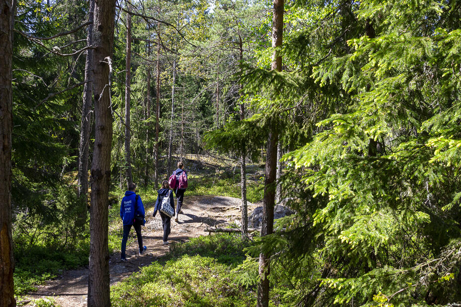
The island has several trails, some of which are trodden forest trails and some paved with wood chips. The island also has an easy small road network. Almost all of the shores are privately owned by the villas, please respect their privacy.
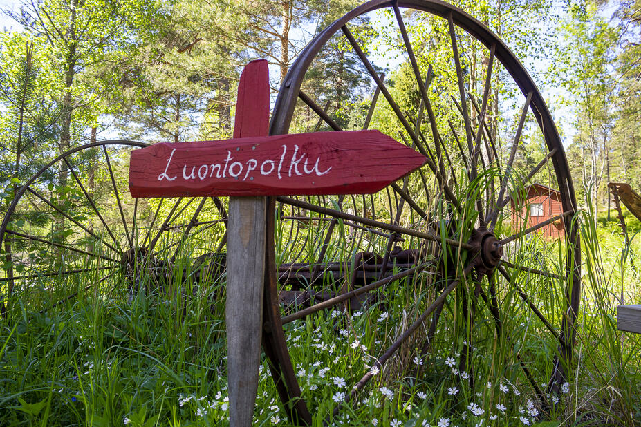
Vartiosaari wellness nature trail
There is a wellness nature trail in Vartiosaari, which is marked on the terrain with signposts and red-headed low piles. There are nature-themed checkpoints along the trail. The length of the trail is about 2.5 kilometres.
Vartiosaari wellness nature trail, location on map (Link leads to external service)
Moving about in the area and map
An excursion map of the Vartiosaari area can be found on Jan Strang’s website, the map is from 2021. The website of the Vartiosaari Society provide information on moving around the area, and there is also a map showing the routes and attractions of the island in general.
Vartiosaari excursion map (Strang, in Finnish)(Link leads to external service)
Getting around the island (Vartiosaari Society, in Finnish)(Link leads to external service)

Popup café at the pier
The associations on the island and the Vartiosaari Society operate a pop-up café at the ferry pier in the summer.
Vartiosaari Society (in Finnish)(Link leads to external service)
Pop-up café, location on map(Link leads to external service)
Toilets
There is a composting toilet about 200 metres from the ferry pier.
Composting toilet, location on map (Link leads to external service)
Attractions
The best attractions on the island are its old forests, villas and villa gardens. The landscape also includes the former plantations of cabins, some of which have been transformed into lush herb-rich forests.
Other attractions on the island include a large boulder, a giant kettle, a fir tree, a maze and a forest church. The vantage point of Vartiokallio, also known as Viikinkikallio, offers a view towards the archipelago of Eastern Helsinki, Sipoo and Porvoo. The Vartiosaari nature trail takes you around many of the attractions on the island.
Sheep in the summer
The sheep of the Haltiala farm have grazed in Vartiosaari for several summers. They have an important summer job as landscapers.
Swimming and angling
Swimming and fishing are allowed on the southwest shore of the island.
Vartiosaari Day
The popular Vartiosaari Day event is held annually in late summer.
Vartiosaari Society (in Finnish)(Link leads to external service)
Events in Vartiosaari (Tapahtumat, in Finnish)
Food plant allotments
The food plant allotments of Vartiosaari are located in the central part of the island.
Food plant allotments, location on map (Link leads to external service)


The shores of Vartiosaari form a ridge around the island, sometimes steeply. The central part of the island is a valley with old fields. Some of the fields are used as food plant allotments, while some have been used as sheep pastures. More than half of the area of Vartiosaari belongs to valuable natural sites due to, for example, vegetation, forests, as well as geological and birdlife values.
Forests and vegetation
The vegetation of Vartiosaari varies from herb-rich forests to spruce-dominated forests and lichen heaths.
There are old, dark spruce-dominated forests in the northern part of the island. The most beautiful rocky forest can be found around the vantage point at the northern tip of the island. The estimated age of the pines on the cliff is 170 years.
The majority of the trees in the forest located south of the meadow and agricultural area in the central part of the island are approximately 110–150 years old.
There are extensive reed-filled areas and overgrown bays on the mainland shore. On the west side is the birdwatching island Kanasaari, where a large number of gulls nest. In the 1890s there was a summer henhouse on Kanasaari, hence the name (“Chicken Island”).
The common alders and ostrich ferns growing at the base of the Rahkoniemi cape on southeast Vartiosaari are one of the most famous vistas on the island. The shore of Sunnanvik has one of the few occurrences of Petasites spurius in Finland. The area is protected, so please walk with caution.
Vartiosaari’s nature information on a map (kartta.hel.fi)(Link leads to external service)
Geology
There are many geologically valuable sites in Vartiosaari: the scenic viewpoint of Vartiokallio, one of the largest Rapakivi granite boulders in Helsinki, a giant glacial pothole on the southern end of Vartiosaari, and ancient coastal rocks.
Species observations on Vartiosaari
The iNaturalist application allows you to easily record your species observations on your phone. The artificial intelligence and other application users can help you to identify the species. The confirmed observations are recorded at the Finnish Biodiversity Information Facility (FinBIF), where they serve researchers, authorities and nature enthusiasts.
Species observations on Vartiosaari (laji.fi, in Finnish)(Link leads to external service)


General rules
In all outdoor recreation areas, observe everyman’s rights and rules and move responsibly in nature:
- Finnish Everyman’s Rights (Nationalparks.fi)(Link leads to external service)
- Stay on the trail – enjoy Helsinki’s nature responsibly
- Nature wisdom to the seas (Luontoviisas, in Finnish)(Link leads to external service)
Rules and regulations for nature reserves
Vartiosaari has one nature reserve, which has been established to protect Finland’s only occurrence of the endangered Petasites spurius. The use of the area has been restricted through statutory protection regulations.
See the nature reserve of Vartiosaari on the map(Link leads to external service)
Please observe the following rules in the nature reserve
- Do not let dogs, cats or other pets roam free
- Do not make a fire, barbecue, or camp
- Do not damage the plants, fungi or lichens
- Do not disturb wildlife or damage nests
- No landfall in the area
See all protection regulations for the nature reserve
The northern part of the island, in particular, has varying topography and is challenging in some places. The nature trail also includes stairs. The island’s old road is more accessible.
Accessibility information for Vartiosaari’s services is still incomplete. Links to accessibility information will be available here when the analysis is completed.
Services of the island on the map
Vartiosaari has a nature trail that takes you around most of the island’s attractions.
Printable Vartiosaari guide map (pdf, inaccessible)(Link leads to external service)


