Services of the outdoor recreation area on the map
The area has dozens of kilometres of hiking trails, cooking shelters, a local sports facility, ball sports fields, ponds that allow fishing and a main building with a café and a club room, among other things.
Description of the outdoor recreation area
The City of Helsinki bought the forest estate known as Dahlbacka in 1946. The Finnish name Pirttimäki was soon established as the area’s new name. After years of acquisitions, the area has grown to its current size of over 430 hectares.
Services at Pirttimäki are being developed, and the built-up service area within the outdoor recreation area is for sale. There will be no café or other services at the Pirttimäki outdoor area starting from May 31, 2025, until a new operator is found.
The outdoor recreation area has toilets in Sorlampi, Hynkänlampi and Sulalampi. There are also three cooking shelters in the area, and it is forbidden to make a fire elsewhere in the area.
There is a local sports facility, a playground and ball sports fields suitable for badminton, volleyball and football in the vicinity of the main building.
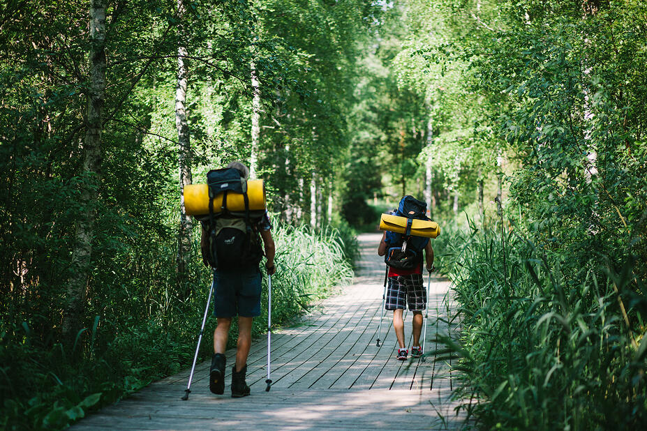
There are 20 km of guided hiking trails in the Pirttimäki area, 16 km of which are crushed stone-based and 4 km of which are soil-based. In the winter, the hiking trails serve as skiing trails for the classic cross-country skiing style, the longest trail is 8 km and the shortest is 3 km. The connecting routes are Pirttimäki–Karjakaivo–Solvalla (approximately 7.5 km) and Pirttimäki–Luukkaa (approximately 8 km). There are 5 km of nature trails and a network of permanent orienteering control points in the area.
Fishing is permitted in Pikku-Sorlampi, Malmilampi, Sulalampi and parts of Lajalampi, owned by the City of Helsinki. There is a restriction on fishing rods in the area. Hynkänlampi is a special permit area of Espoon Perhokalastajat flyfishing association.
General rules
In all outdoor areas, observe Everyman’s Rights and rules and move responsibly in nature:


