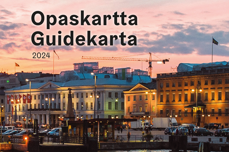
Helsinki Guide map is a 1:20,000 scale map with data produced and maintained by the City of Helsinki’s Urban Environment Division’s City Survey Services. The details of the guide map have been pared down and generalised to emphasise the street network, names and addresses.

Printed Helsinki Map Service guide map 1:20 000
The printed guide map of Helsinki is sold in a folded form with an 80-page list of names and as a set of map sheets. The map and directory are bilingual in Finnish and Swedish. The latest version was printed in May 2024.
The map is sold by the Urban Environment Division’s Customer Service (payment by card only) and in well-stocked bookshops.
Price information (incl. 25,5 per cent VAT)
- Guide map and list of street names EUR 19.70
- Set of guide map sheets, straight pages EUR 13.30
Direct your inquiries and orders to the Urban Environment Division’s Customer Service.