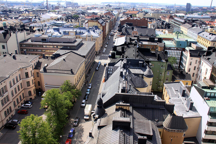
Updating the old inner city detailed plans will start in Kamppi
The detailed plans for Kamppi and the Leppäsuo city block will be updated to correspond to the current structure and the rules of the city plan. The detailed plan will ensure the durability, high quality, functionality and cultural historical values of the urban environment.
There are many valid detailed plans in the inner city, the oldest ones are from the 1800s. Many of the detailed plans do not reflect the actual realised building or the current objectives.
The draft material for the Kamppi detailed plan that is now on display mainly concerns the detailed plans that entered into force in Kamppi and the Leppäsuo city block in Etu-Töölö before the 2000s. Similar detailed plan changes will be drafted city-district-specifically or area-specifically almost everywhere in the inner city.
Targets for the area include high quality, urban diversity, and durability
Updated detailed plans will ensure that the inner city stays as a diverse area of homes, workplaces and services. The aim is to achieve a durable, vital, pleasant and functional inner city whose cultural historical values, cityscape-related values and characteristics are protected.
The updating of the detailed plan will include updating things such as the planning permissions, building areas and intended uses of properties so that they reflect the situation pursuant to the valid building permits and the realised construction. The updating is necessary due to, among other things, the fact that many of the buildings in the area are larger in real life and contain different functions than those recorded in the current detailed plans. Furthermore, protection markings will be supplemented where necessary. Some of the valuable building stock and historical parks of the cultural historically significant area are still unprotected.
The detailed plan enables the buildings’ current functions that are pursuant to the building permits and directs the future changes to be in accordance with the city plan and the city strategy. Over the years, many of the buildings have been altered with exemption permits granted by the city. These changes will be updated to the detailed plan. The building prohibitions of the area governed by the detailed plan will be removed in connection to the changes to the detailed plan.
The preparing of future alterations to city plans and the granting of building permits will become clearer. This will be evident as smoother processes and equal treatment for both property owners and different operators in the area.
The ground floors of the buildings will be kept, in accordance with the rules of the city plan, in commercial and business use and the workplace and service structure of the area will be supported. The plots of public construction will be kept and places for local services will be available in several city blocks.
Durable overall solutions will be supported with plan regulations. The regulations aim to promote a city structure of sustainable everyday life, to increase vegetation and permeable coverings that provide shelter from overheating and floods. The regulations also aim to prevent the unnecessary demolishing of buildings by promoting the long lifecycles of the buildings and their parts. However, the regulations of the plan only apply to situations in which the aim is to alter a property.
The change to the plan concerns the existing city structure. The new building projects and extensive alterations will continue to require a separate change to the detailed plan in which the impacts of the change can be assessed and they can be commented on.
Centre vision creates the foundation for updating the inner city detailed plans
The Helsinki centre vision approved by the City Board in early 2021 sets the outlines for the planning of land use and transport. The centre vision and the extensive interaction work carried out during it create the foundation for updating the inner city detailed plans and for the projects in the area.
The draft plan materials for Kamppi and the Leppäsuo city block were publicly available from 2 to 23 May 2022. The material could be viewed on the Map Service(Link leads to external service) .
The draft plan and the feedback received from parties concerned were presented to the Urban Environment Committee in September 2022. The more detailed plan proposal will be presented again to the decision-makers in 2023, after which it will be made publicly available. The plan will be finally accepted by the City Council. The zoning and updating of the other city districts in the inner city will be continued in accordance with the model created in the plan for Kamppi and Leppäsuo.