The new residential area of Pukinmäenranta will be located in the western part of Pukinmäki, along the east bank of the Vantaa River. Currently, the region largely consists of undeveloped field and forest areas.
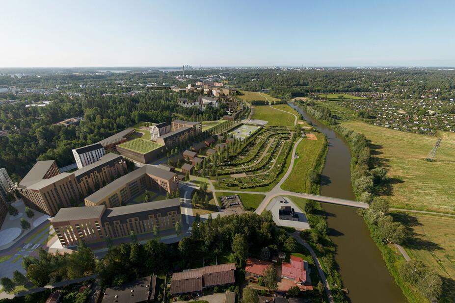
A key goal in the planning has been to fit the new construction into the valuable culture landscape of the Vantaa River and to take into consideration the area’s nature values, including its Natura area. The forested hills will be kept in their current use as a recreational area.
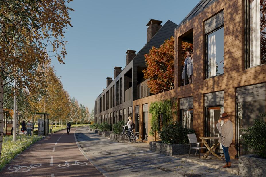
New transport connections will be created between the new area and the centre of Pukinmäki. Walking, cycling and public transport will be highlighted when planning the traffic arrangements. Pukinmäenkaari will be the main street of the area, which will be connected to the centre of Pukinmäki with a new, eastbound street connection.
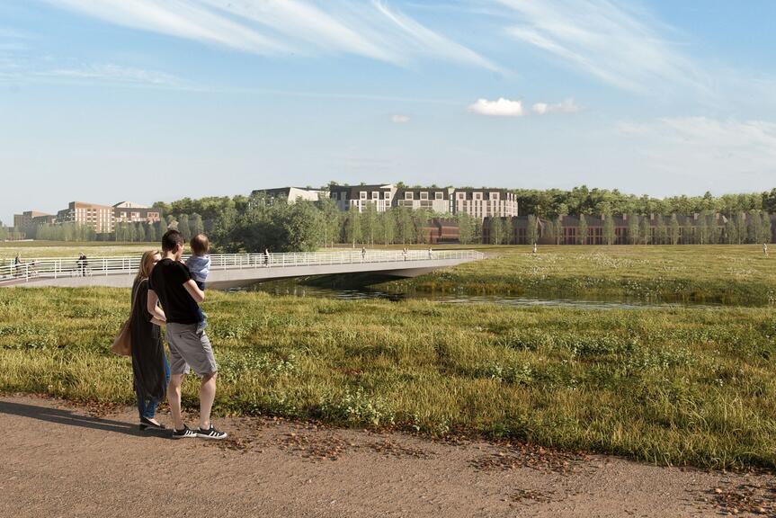
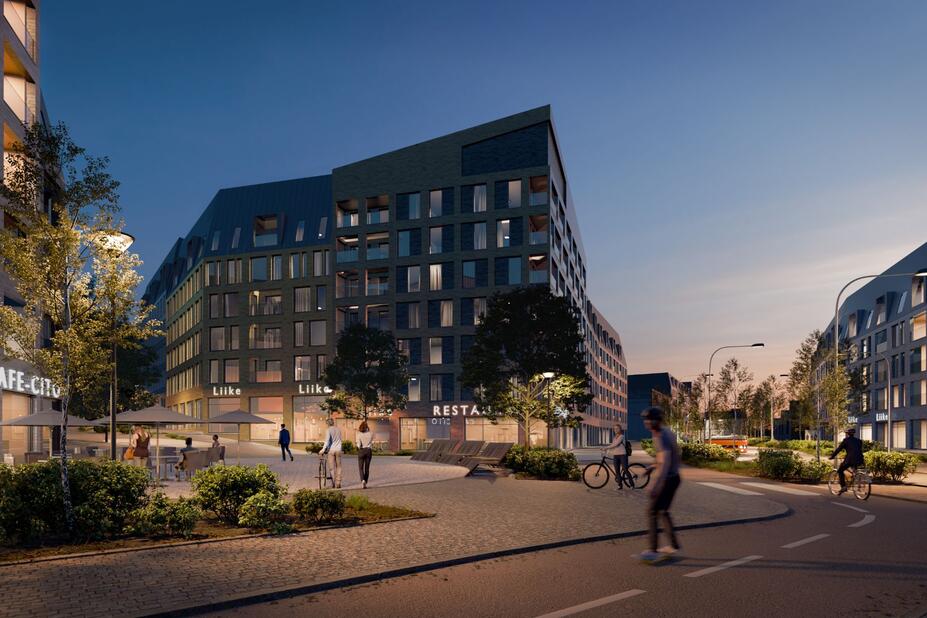
It is possible to place new walking and cycling bridges over the Vantaa River, and a new high-quality cycling path can be built along the northern side of the area sometime in the future. Traffic arrangements and noise abatement options are being reviewed along the Kehä I ring road. The plan also allows building new services in the area, such as a daycare centre.

Most new construction to take place east of Pukinmäenkaari
A significant amount of new residential construction has been assigned to the western part of Pukinmäki, in an attractive location along the Vantaa River. Space for new business premises has been assigned to the north side of the Kehä I junction. Two new walking and cycling bridges over the Vantaa River are being planned. The new Pukinmäenranta area is mostly being planned on City-owned land. Additionally, a private landowner has applied for a revision to the local detailed plan of their plot in the area.
In the proposed local detailed plan drawn up for the area, most new construction takes place on the eastern side of Pukinmäenkaari. Some construction is also planned on the west side of the street in the area’s southern and northern parts. The new construction is divided into three sections, with high-rise buildings and business facilities in the south, small residential buildings and high-rises in the centre and high-rise buildings, small residential buildings and a new daycare centre in the north. A large recreational area has been left in the western section of the area, along the Vantaa River. This area will feature services and amenities such as allotments, a swimming spot, a rug washing station and a miniature golf course. The existing forested hills in the eastern part of the area have also been conserved. This plan will increase the number of residents in the area with nearly 3,000 people.
The objective is to submit the reviewed detailed plan proposal to the Urban Environment Committee for processing within 2025.

Explore the topic

Contact Information
Antti Mentula
Chief Architect
City of Helsinki, Detailed Planning
tel. 09 310 20768,
antti.mentula@hel.fi(Link opens default mail program)